|
|
|
|
|
|||
|
NEPAL | ARTICLES | KAVITAHARU | MANTHAN | COOL LINKS | GUESTBOOK | SEARCH |
|||
Map of Nepal : Makawanpur District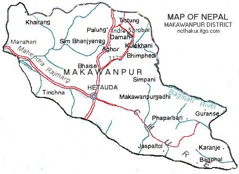
Area: 2426 sq.km
Hetauda as its district headquarters, Makwanpur district, a part of Narayani zone, is one of the seventy-five districts of Nepal. It is also the regional adminitrative headquarters for Central Development Region. Kulekhani, Daman, Tistung, Palung and Bhainse Dobhan are some of the places of interest. |
|||
|
Home
| About Me
| Nepal
| Articles
| Kavitaharu
| Cool Links
Javascript | Add Email | Guestbook |
|||
