|
|
|
|
|
|||
|
NEPAL | ARTICLES | KAVITAHARU | MANTHAN | COOL LINKS | GUESTBOOK | SEARCH |
|||
Map of Nepal : Taplejung District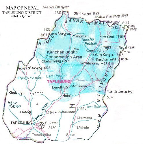
Area: 3646 sq.km Taplejung district, one of the 75 districts of Nepal, is a part of Mechi Zone. Taplejung is famous for its holy temple in Pathivara. Kanchenjunga, the third highest mountain in the world, lies in this district. |
|||
|
Home
| About Me
| Nepal
| Articles
| Kavitaharu
| Cool Links
Javascript | Add Email | Guestbook |
|||
