|
|
|
|
NEPAL | ARTICLES | KAVITAHARU | MANTHAN | COOL LINKS | GUESTBOOK | SEARCH |
|||
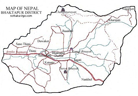
Map of Nepal : Bhaktapur District
Map of Bhaktapur City Bhaktapur district, a part of Bagmai zone, is one of the seventy-five districts of Nepal. Bhaktapur is the distirct headquarters of Bhaktapur district. Nagarkot, Changunarayan, Surya Binayak, Sano Thimi and Bhatkatapur Darbar Square are some of the interesting places to visit. |
|||
|
Home
| About Me
| Nepal
| Articles
| Kavitaharu
| Cool Links
Javascript | Add Email | Guestbook |
|||