|
|
|
|
|
|||
|
NEPAL | ARTICLES | KAVITAHARU | MANTHAN | COOL LINKS | GUESTBOOK | SEARCH |
|||
Map of Nepal : Jumla District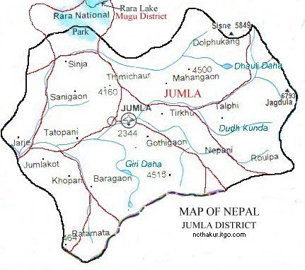
Area: 2531 sq.km Jumla district, a part of Karnali zone, is one of the seventy-five districts of Nepal. Jumla is the distirct headquarters and also the zonal headquarter of the Karnali zone. Jumla is a gateway to Rara Treks. Treks to Rara Lake (National Park) start and end at Jumla.
|
|||
|
Home
| About Me
| Nepal
| Articles
| Kavitaharu
| Cool Links
Javascript | Add Email | Guestbook |
|||
