|
|
|
|
|
|||
|
NEPAL | ARTICLES | KAVITAHARU | MANTHAN | COOL LINKS | GUESTBOOK | SEARCH |
|||
Map of Nepal : Terhathum District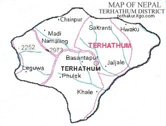
Area: 679 sq.km Terhathum district, a part of Koshi zone, is one of the seventy-five districts of Nepal. Myanglung is the district headquarters of Terhathum district. |
|||
|
Home
| About Me
| Nepal
| Articles
| Kavitaharu
| Cool Links
Javascript | Add Email | Guestbook |
|||
